Historical Maps and Illustrations
 The collection comprises about 3000 digitized illustrations and maps on Southern Africa taken from books of the Rare Book Collection. The oldest illustrations were taken from Filippo Pigafetta und Duarte Lopes’ Vera descriptio regni africani (1598). The main corpus stems from books and periodicals from the 19th century, most of them travel journals of Europeans in Africa. The geographic emphasis of this collection lies on Namibia.
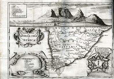